All examples
Compare the World's Largest Economies
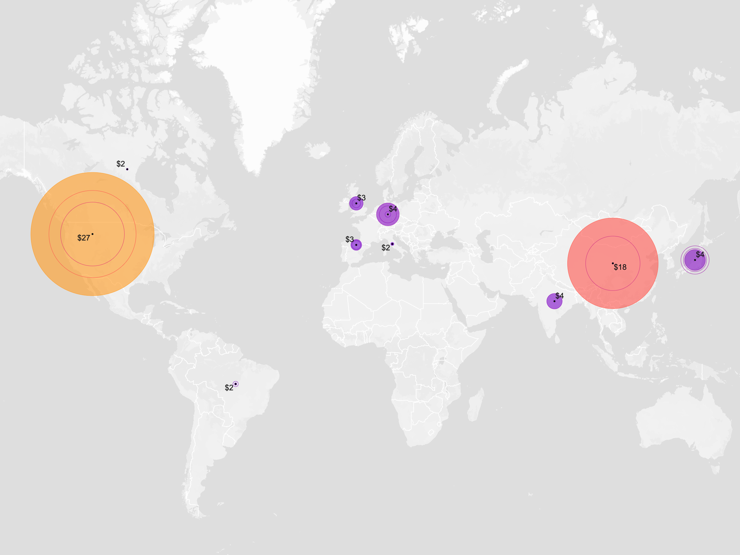
Not every dataset comes with geographic boundaries. Load the GDP CSV directly, and Basismap automatically matches country names to map features—no GIS processing or manual joins required. From there, use filters and duplicate layers to compare how the world's largest economies have changed over time.
Dataset
Ideas to explore
- Automatically join country names to world polygons or points
- Filter by one or more years
- Duplicate the layer to compare different time periods
- Use fills for recent data and outlines for earlier years
- Color or scale countries using Value
Ready to try it?
Create a new map, load the source data, and use this example as a starting point for your own editorial or design project.