All examples
Map Cities by Population
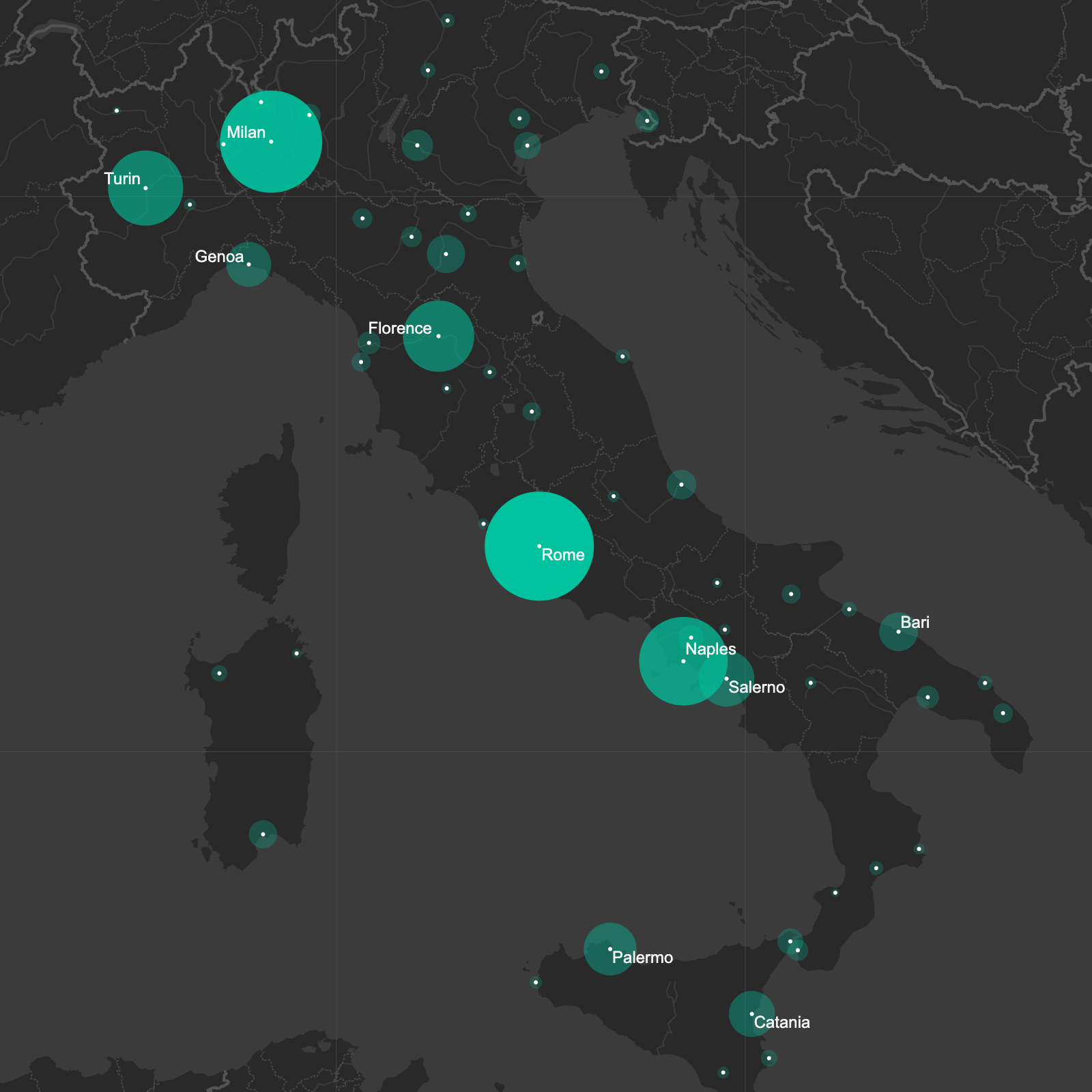
Global datasets don't have to produce global maps. Filter cities to a single country, scale them by population, and label only the locations that support your story for a clean, editorial-style graphic.
Dataset
Ideas to explore
- Filter to any country
- Scale cities using 'POP_MAX'
- Emphasize precise locations
- Label only major population centers
Ready to try it?
Create a new map, load the source data, and use this example as a starting point for your own editorial or design project.