All examples
Map Locations from a CSV
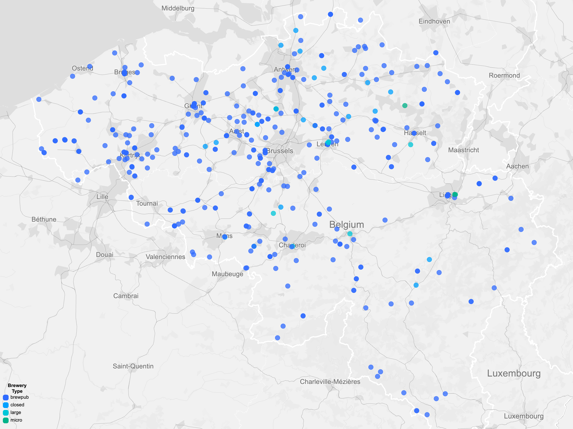
Whether you're mapping customers, breweries, store locations, or event venues, point maps are often the fastest way to uncover geographic patterns. Load a CSV directly from a URL, and Basismap automatically detects latitude and longitude columns so you can start designing instead of cleaning data.
Dataset
Ideas to explore
- Color breweries by 'brewery_type'
- Add cultural labels for context
- Keep the map connected to the live source data
Ready to try it?
Create a new map, load the source data, and use this example as a starting point for your own editorial or design project.