All examples
Track Earthquakes in Real Time
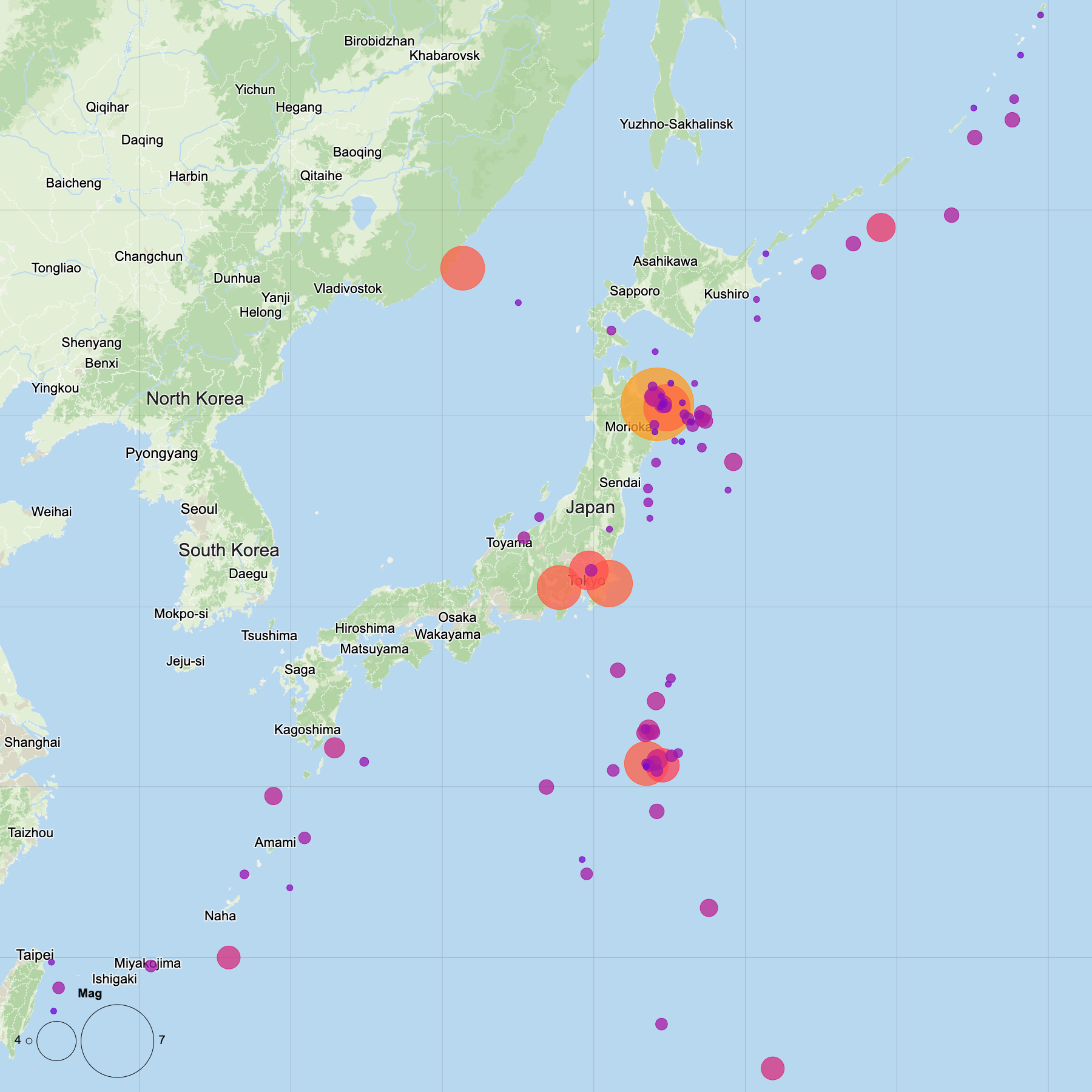
Build a map that updates with one of the world's most active earthquake regions. Connect directly to the USGS GeoJSON feed, then highlight magnitude, depth, or significance to quickly reveal where the biggest events are happening.
Dataset
Ideas to explore
- Scale points by 'mag'
- Color by 'depth'
- Add graticules for geographic reference
- Label only the strongest earthquakes
Ready to try it?
Create a new map, load the source data, and use this example as a starting point for your own editorial or design project.