All examples
Map Maritime Trade and Piracy
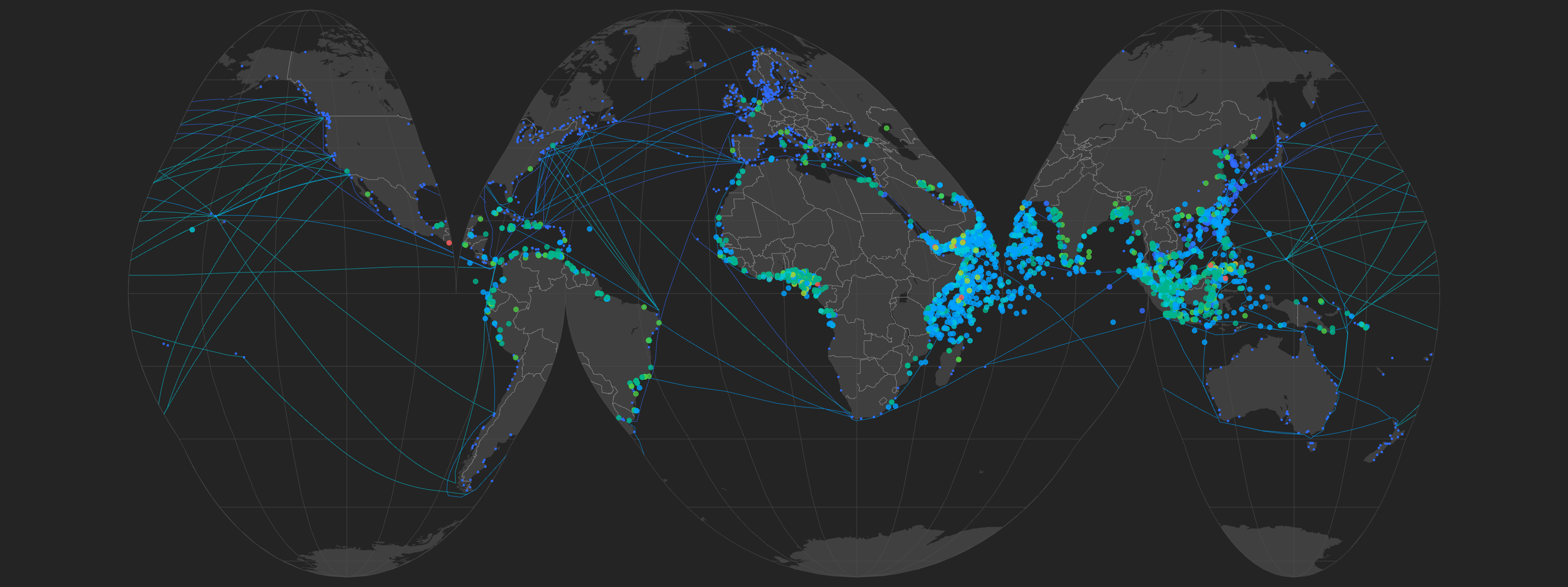
Layer maritime pirate attacks, global shipping lanes, and port locations to reveal where commercial routes and piracy risk intersect. Use categorical color to distinguish attack and route types, then switch to an ocean-focused interrupted projection for a thematic view of the world's maritime network.
Dataset
Ideas to explore
- Color pirate attacks categorically by 'attack_type'
- Color shipping lanes categorically by 'Type'
- Add ports as a point layer
- Set Basemap Projection to 'Interrupted Homolosine Oceans'
Ready to try it?
Create a new map, load the source data, and use this example as a starting point for your own editorial or design project.