All examples
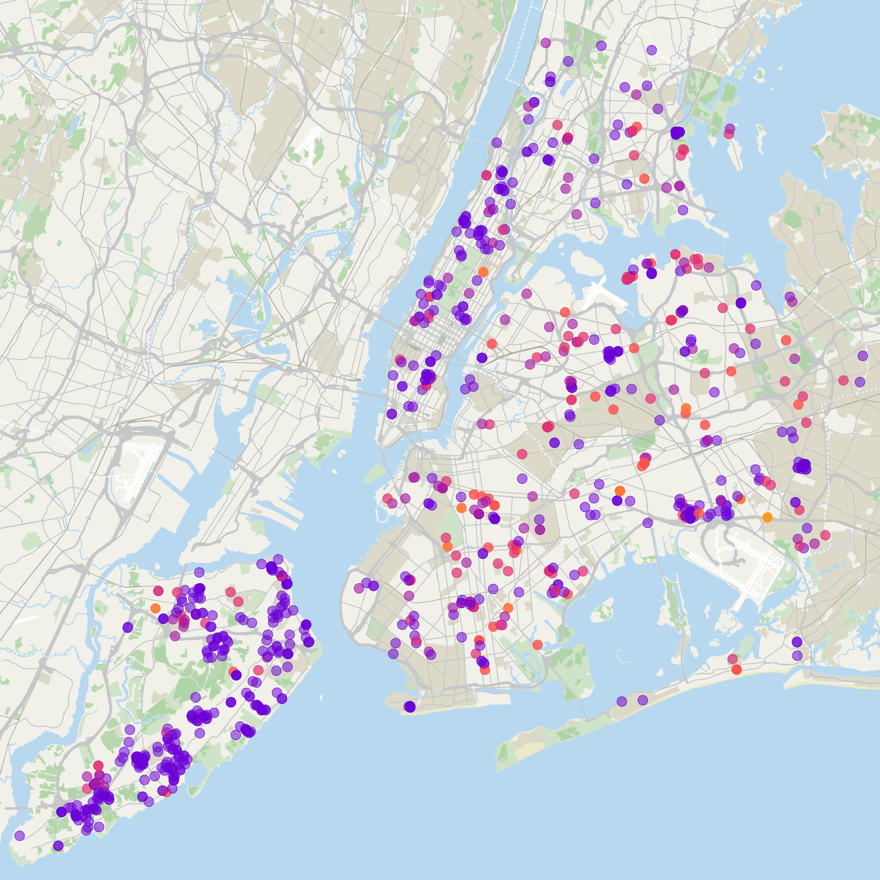
Map NYC Maple Trees by Risk Rating
Explore maple trees across New York City using a prepared sample from NYC Forestry Tree Points. Basismap reads each tree's point geometry from the CSV, while a continuous color scale makes higher risk ratings stand out against the Natural basemap style.
Dataset
Ideas to explore
- Color trees using 'RiskRating'
- Set Color Mode to 'Natural'
- Use the full dataset to explore other tree species
Ready to try it?
Create a new map, load the source data, and use this example as a starting point for your own editorial or design project.